Reading the USDA Plant Hardiness Zone Map for Maine Yards
A plant label may say a perennial is hardy in your zone, but that does not tell you whether it will thrive in your particular Maine yard. The USDA Plant Hardiness Zone Map is useful for comparing winter cold, not for setting every planting date or predicting every plant’s survival. Here’s how to read it, understand its limits, and use it alongside conditions in your garden.
What the USDA Plant Hardiness Zone Map tells you
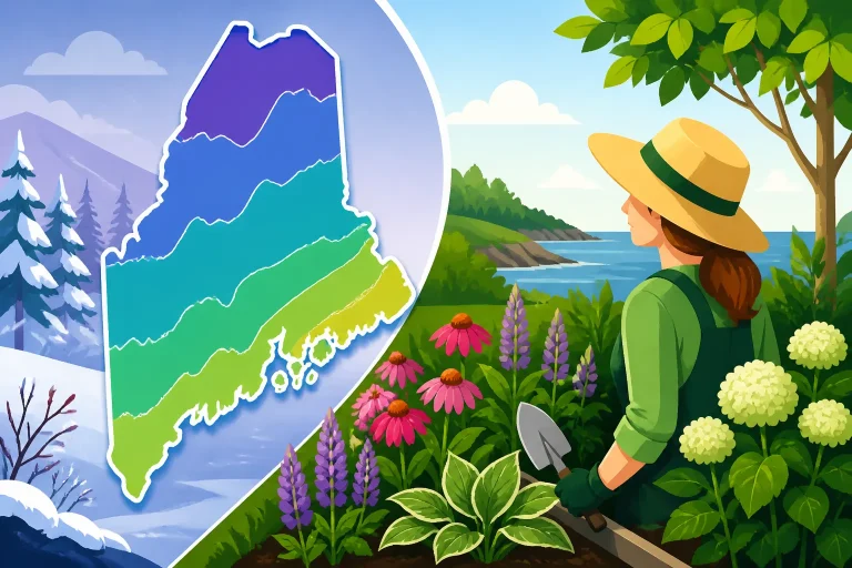
The USDA Plant Hardiness Zone Map is a tool for assessing how well perennial plants may tolerate winter cold in a location. Its zones are based on average annual extreme minimum winter temperatures. In practical terms, the map helps you compare the cold a plant is expected to encounter with the cold conditions it can tolerate.
According to the University of Maine Cooperative Extension, the map is based on approximately 30 years of weather data, from 1991 to 2020.
A zone is a broad climate indicator, not a promise that every yard in it will experience the same winter. It does not describe the exact lowest temperature that will occur in a particular winter, and it cannot account for every feature of a home landscape. Cold-air drainage, wind exposure, snow cover, shade, soil moisture, and the warmth retained by nearby structures can all affect how plants fare.
That distinction matters when you’re selecting trees, shrubs, and herbaceous perennials. A plant’s hardiness rating can help you rule out choices unlikely to tolerate typical winter cold in your area. But even a plant rated for your zone can struggle if its roots stay wet, it is exposed to drying wind, or it has not had suitable growing conditions.
The map is best used as a starting point for a decision, rather than a pass-or-fail test. A rating gives you a clue about winter survival. It does not tell you whether a plant will bloom well, produce fruit, resist disease, tolerate your soil, or fit the available sunlight.
If you’re not sure how to locate your area on the map, Finding Your USDA Hardiness Zone in Maine offers a related starting point. For a broader explanation of the map’s boundaries, see Understanding Hardiness Zone Boundaries for Maine Gardens.
How to find and read your Maine location
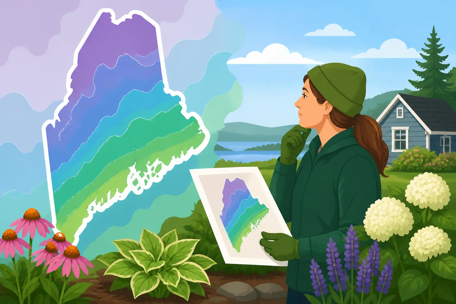
Start with a map view that lets you locate your town or area. A ZIP code can help you orient yourself, but it should not be treated as a guarantee that every property within that ZIP code has identical growing conditions. ZIP codes describe postal areas, not the fine-grained climate of an individual yard.
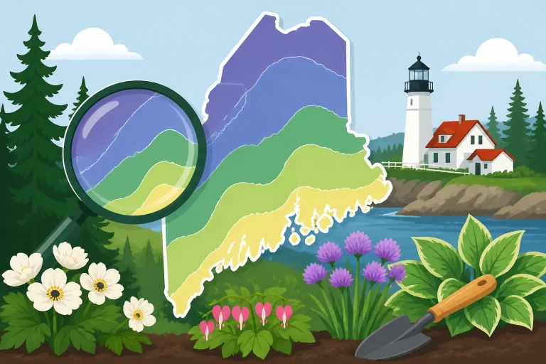
Once you find your general location, look at the zone shading and boundary nearest to it. Do not assume that a color change on the map marks a sharp environmental edge on the ground. A mapped boundary is a way to show a transition between broad areas. Weather and site conditions shift gradually, and local terrain can create meaningful differences over short distances.
If your home is close to a mapped boundary, avoid treating the line as a precise divider between safe and unsafe plants. A small location shift on the map may change the displayed zone, while the actual conditions around your yard can vary with elevation, slope, nearby water, and exposure. In that situation, it can be helpful to consider the conditions on both sides of the boundary rather than relying on a single shade.
The map is still useful when the location is not near a boundary. It gives a general reference for comparing the winter hardiness of plants and understanding how your area relates to other places. Just keep the scale in mind: it describes a broad pattern, not every garden bed.
A practical way to read the map is to work from broad location to specific site:
- Locate your town or general area on the map.
- Note the zone shown there, while recognizing that a ZIP code or town-wide result is not a yard-level measurement.
- Consider whether your property lies near a boundary or in an area where terrain and exposure may make conditions less uniform.
- Compare the plant’s hardiness information with the mapped zone, then check whether the plant also suits your soil, light, drainage, and growing season.
- Use local observations and other planting information to refine the decision.
For a ZIP-code-focused approach, see Maine Planting Zones: How to Check Your Town by ZIP Code. If you want to understand why two nearby addresses can have different conditions, What Your ZIP Code Growing Zone Really Means Near the Line explores that question.
A map result should not be mistaken for a measurement taken in your garden. It is a regional guide. A sheltered bed beside a building may be more protected than an exposed, windy part of the same property, while a low spot may collect cold air. If you have watched the same areas through different winters, those observations are useful context. They do not replace the map, but they help you apply it more carefully.
Why Maine yards can differ from the map
Maine includes coastal, inland, northern, southern, elevated, and sheltered locations. A single state-wide description cannot explain all of those settings. Even within a town, a garden’s conditions can vary according to its position on a slope, its exposure to prevailing winds, the amount of sun it receives, and whether cold air can drain away.
That is why a map can be accurate as a regional tool and still feel imperfect when you compare it with the plants in your own yard. The map cannot show every ridge, hollow, shoreline influence, windbreak, or pocket of shelter. It also does not reveal how the soil in a particular bed holds water or how much snow typically covers the plants there.
Exposure and shelter
A sheltered yard may experience less wind and fewer abrupt temperature swings than an open site nearby. Buildings, fences, and established vegetation can reduce exposure, although the effect depends on the location and the way those features change sun, airflow, and moisture.
Shelter is not automatically an advantage. A warm wall can encourage earlier growth, which may leave new shoots exposed to later cold. A dense screen can limit airflow or keep a spot shaded. When choosing a planting location, think about what the shelter changes, not just whether the spot feels protected.
An exposed garden has a different set of concerns. Wind can increase stress on evergreen foliage and dry out soil or plants, especially when the ground is frozen and roots cannot readily replace lost moisture. A plant that is hardy enough to survive winter in a protected bed may have a harder time on a windy, open slope.
Slope and cold-air movement
Cold air tends to collect in low areas when it can move downhill and settle. A hollow or low pocket may therefore be colder than a nearby slope or raised area. A site’s position can matter even when the broader map shows the same zone across the surrounding region.
Look for clues in your yard. Do some areas hold frost longer than others? Do certain beds stay wet after rain or snowmelt? Does one part of the property remain exposed while another is shielded by buildings or trees? These observations can help explain why a plant thrives in one spot and struggles in another.
Snow cover and soil conditions
Snow cover can influence how much protection plants receive at ground level, but the map does not tell you how much snow will cover a specific bed. Wind can move snow away from one area and pile it in another. A plant’s location, growth habit, and exposure all matter when assessing its winter conditions.
Soil drainage is another important part of the picture. A plant may tolerate cold but fail in soil that remains saturated around its roots. Conversely, a well-drained site can still be challenging if it dries quickly or leaves roots exposed to cold and wind. The hardiness zone does not describe your soil’s structure, moisture, or drainage.
Use the map alongside a close look at your planting site. Assessing Sunlight, Slope, and Soil Moisture Before Planting in Maine can help you think through those conditions. For more on how coastal and inland settings create different local conditions, see Coastal vs Inland Microclimates in Maine Hardiness Zones.
What the hardiness zone does not tell you
A common mistake is using a hardiness zone as if it were a complete planting calendar. It is not. The USDA map focuses on winter cold; it does not tell you when a bed is ready to work, when to sow a vegetable crop, or when it is safe to set out a tender transplant.
It does not predict the next winter
The map describes a long-term pattern, not a forecast. An individual winter can be milder or colder than the conditions suggested by a regional average. A plant’s survival can also depend on how quickly temperatures change, whether the ground is frozen, and whether the plant has time to establish before harsh weather arrives.
For that reason, a plant’s hardiness rating should not be read as a guarantee. It is one piece of information to weigh with the species’ needs, local experience, and the conditions of your site. If a plant is near the limit of its cold tolerance, a sheltered location may help, but it cannot remove all risk.
It does not show spring or fall frost timing
A hardiness zone does not tell you the likely timing of last spring frost or first fall frost. Those seasonal events matter especially for vegetable gardening and for plants that cannot tolerate frost. If you are deciding when to sow seeds or transplant crops, use information about frost timing and local planting windows instead of relying on the hardiness map alone.
For help understanding the difference, read Hardiness Zones Versus Frost Dates: Sowing Advice for Maine. To think through how a frost-date estimate applies to a specific garden site, see How to Read Local Frost Dates for Your Maine Garden Site.
It does not measure growing-season length
The map does not tell you how long a plant has to grow, flower, or produce fruit before autumn conditions arrive. That matters for crops that need a warm or extended growing season. Two places with similar winter cold can still differ in summer warmth, frost timing, or the length of conditions suitable for a particular crop.
A plant may survive the winter but fail to produce a useful harvest or bloom in a short season. For edibles, look for guidance on maturity, local planting windows, and crop performance in Maine, rather than treating a hardiness rating as evidence that a plant will produce well.
It does not describe sun, soil, water, or pest pressure
A plant can be cold-hardy and still be a poor choice for a yard that is too shady, too dry, too wet, or otherwise unlike the plant’s preferred conditions. The map does not assess soil texture, fertility, pH, drainage, moisture, sunlight, or pest pressure.
That is why a zone match should come after checking the basic site requirements. A plant label may indicate that a plant can tolerate winter conditions, but you still need to consider whether the garden offers the light, soil, and water it needs. If those conditions are unsuitable, choosing a plant with a compatible hardiness rating will not solve the underlying problem.
Using the map to choose plants for a Maine yard
The hardiness map is most helpful when you use it as a screening tool. It can help you narrow your options, identify plants that may be at the edge of their cold tolerance, and compare what you see on a label with conditions in your area. It is less useful when you expect it to make the whole planting decision for you.
Begin with the plant’s purpose
Before comparing a hardiness rating, decide what you need the plant to do. A shade tree, privacy shrub, spring perennial, berry bush, and vegetable crop each bring different considerations. Some are grown mainly for foliage or structure; others need a suitable season to flower or ripen.
Then look for information about the plant’s growing requirements. Check its preferred light, soil, moisture, and drainage, along with its cold tolerance. For a plant you are considering for a particular spot, ask whether it can tolerate the winter conditions suggested by the map and whether that spot provides the growing conditions the plant needs during the rest of the year.
Treat ratings near your area’s limit with care
When a plant is described as suitable for conditions close to your location’s mapped range, think through the risk rather than assuming the rating settles the question. A plant near its cold-tolerance limit may be more vulnerable in a cold, exposed, wet, or poorly sheltered spot than in a protected location.
That does not mean every borderline plant must be rejected. It means the decision should take into account what you know about the site and what you are willing to risk. If losing a plant would be costly or difficult to replace, choosing a plant with a more comfortable margin of cold tolerance may be the practical option. If you are experimenting in a small, sheltered bed, the trade-off may be acceptable.
For more on assessing a plant’s winter suitability before purchase, see How to Evaluate Winter Hardiness Before Buying Perennials. If you are weighing the survival of a particular plant, Will That Plant Survive Winter in Your Maine Garden? offers another useful perspective.
Give new plantings time to establish
A mature plant and a recently planted one do not face winter under identical conditions. A new planting may still be developing roots and adjusting to its site. A map rating cannot tell you whether a plant has established well, whether its roots are healthy, or whether planting conditions have been suitable.
When selecting a planting time, consider the plant type and the condition of the soil, along with the local season. Follow reliable guidance for the specific tree, shrub, perennial, or crop rather than using the zone as a calendar. If you are choosing a time to put a plant in the ground, When Is It Safe to Plant Outdoors in Maine? can help separate seasonal timing from winter-hardiness information.
Match the plant to the site, not just the zone
A practical selection process looks at the whole planting spot. Is it sunny or shaded? Does water drain away or linger? Is the area protected from wind? Does snow stay in place or blow away? Is the soil likely to remain workable and suitable for the plant’s roots?
Those answers can be more useful than trying to make the map do work it was not designed to do. A hardy plant in an unsuitable site can struggle, while a well-matched plant in an appropriate setting has a better chance of establishing and performing as intended.
For edible gardens, also consider whether the crop can mature in the available season. The zone may help you understand winter cold, but it does not tell you how to schedule sowing, transplanting, and harvest. Why Your Hardiness Zone Does Not Tell You When to Plant Seeds explains why those decisions need other information.
Build a planting plan with more than one kind of information
Use the hardiness map as one layer of a broader plan. The useful question is not simply, “What zone is my garden?” It is, “What does the map tell me about winter cold, and what other information do I need for this plant and this location?”
For trees, shrubs, and perennials
Start with the plant’s hardiness information and compare it with the map result for your general area. Then check the plant’s preferences for light, soil, drainage, and moisture. Consider the position of the planting site in relation to wind, slope, buildings, and areas where cold air may collect.
Where there is uncertainty, choose plants with a good fit for the conditions you can provide. If you are trying a plant near the edge of its listed tolerance, be clear about the risks. A protected site may improve the odds, but it does not make a plant immune to winter injury.
Planting time matters too. A newly planted tree or shrub needs suitable conditions to establish. A hardiness map cannot tell you whether the ground is ready, whether a plant is best installed in spring or autumn, or how much time it needs before winter. Look for guidance that addresses the plant type and season. Planting Trees and Woody Shrubs in Maine Autumn Soil and Spring Thaw to Bud Break: When to Plant Container Trees in Maine cover timing questions for different situations.
For vegetables and other annual crops
Annual vegetables are usually managed around sowing, transplanting, frost risk, and harvest timing. A perennial plant’s winter-hardiness rating does not give you those dates. For vegetables, use a Maine planting calendar or crop-specific advice that considers local conditions and the time each crop needs to mature.
A warm-season crop may need more heat than a cool-season crop, while some crops can tolerate cooler conditions. The map alone cannot tell you which crops are appropriate for a particular sowing window, or whether a late planting has enough time to mature. Use the calendar and the plant’s maturity information together.
For example, Maine Vegetable Planting Schedule for Spring Through Fall can help with broad seasonal planning, while Freeze-Free Growing Season Length Across Maine Weather Stations focuses on growing-season context. Those resources answer questions that the hardiness map does not.
Keep notes about your own yard
A simple garden record can help you interpret the map over time. Note where plants are planted, how much sun and wind the area receives, whether water drains well, and how plants fare through winter and spring. Record whether a bed is exposed, sheltered, sloped, or low. If the same plant does better in one part of the yard than another, the difference may reveal something important about those locations.
Keep those observations distinct from the map result. Your notes describe a particular site and what happened there; the map provides a broader regional reference. Together, they can support more informed decisions than either one alone.
Avoid drawing a broad conclusion from a single plant failure. A plant might decline because of winter cold, but it could also have been stressed by poor drainage, drought, disease, or damage during establishment. Looking at the plant’s requirements and the conditions in the bed can help you distinguish between a zone mismatch and another problem.
Revisit the decision when the site changes
A garden is not static. A new fence, tree, building, or change in drainage can alter wind, shade, snow distribution, or moisture. A bed that once received full sun may become shaded as nearby plants grow. A new planting area may be more exposed than the old one, even if both are on the same property.
When you add a plant, assess the current conditions rather than assuming that a successful nearby planting tells the whole story. The map remains useful for understanding regional winter cold, but the best plant choice also depends on what the site is like now.
If you are comparing locations across Maine, remember that regional differences can affect the decisions you make about crops and planting windows. Hardiness Zone Differences Across Maine’s Coast and Interior offers context for those regional contrasts.
Frequently Asked Questions
Does the USDA Plant Hardiness Zone Map tell me when to plant vegetables?
No. The map addresses winter cold, not the seasonal timing of sowing or transplanting. Use frost information and a Maine planting calendar for vegetable timing.
Can a ZIP code tell me the exact conditions in my yard?
A ZIP code can help locate a general area on the map, but it does not describe every property within that area. Your yard’s slope, exposure, shelter, and soil conditions can affect how plants perform.
Should I avoid every plant rated near the edge of my area’s conditions?
Not necessarily. Consider the plant’s cold tolerance alongside the site’s exposure, drainage, and shelter, and decide how much risk is acceptable. A rating is useful guidance, not a guarantee.
If a plant is hardy in my zone, does that mean it will thrive?
No. Winter hardiness is only one consideration. The plant also needs suitable light, soil, moisture, drainage, and growing-season conditions.
Sources
- University of Maine Cooperative Extension — USDA Plant Hardiness Zone Map – Cooperative Extension: Garden and Yard – University of Maine Cooperative Extension (checked November 15, 2026)
Disclaimer
This article is for general informational purposes only and does not constitute professional advice. Laws, prices and regulations vary by location and change over time. Consult a qualified professional for guidance on your specific situation. Maine Gardening Guide is not a government agency and is not affiliated with any university extension, state department of agriculture or other government agency.